
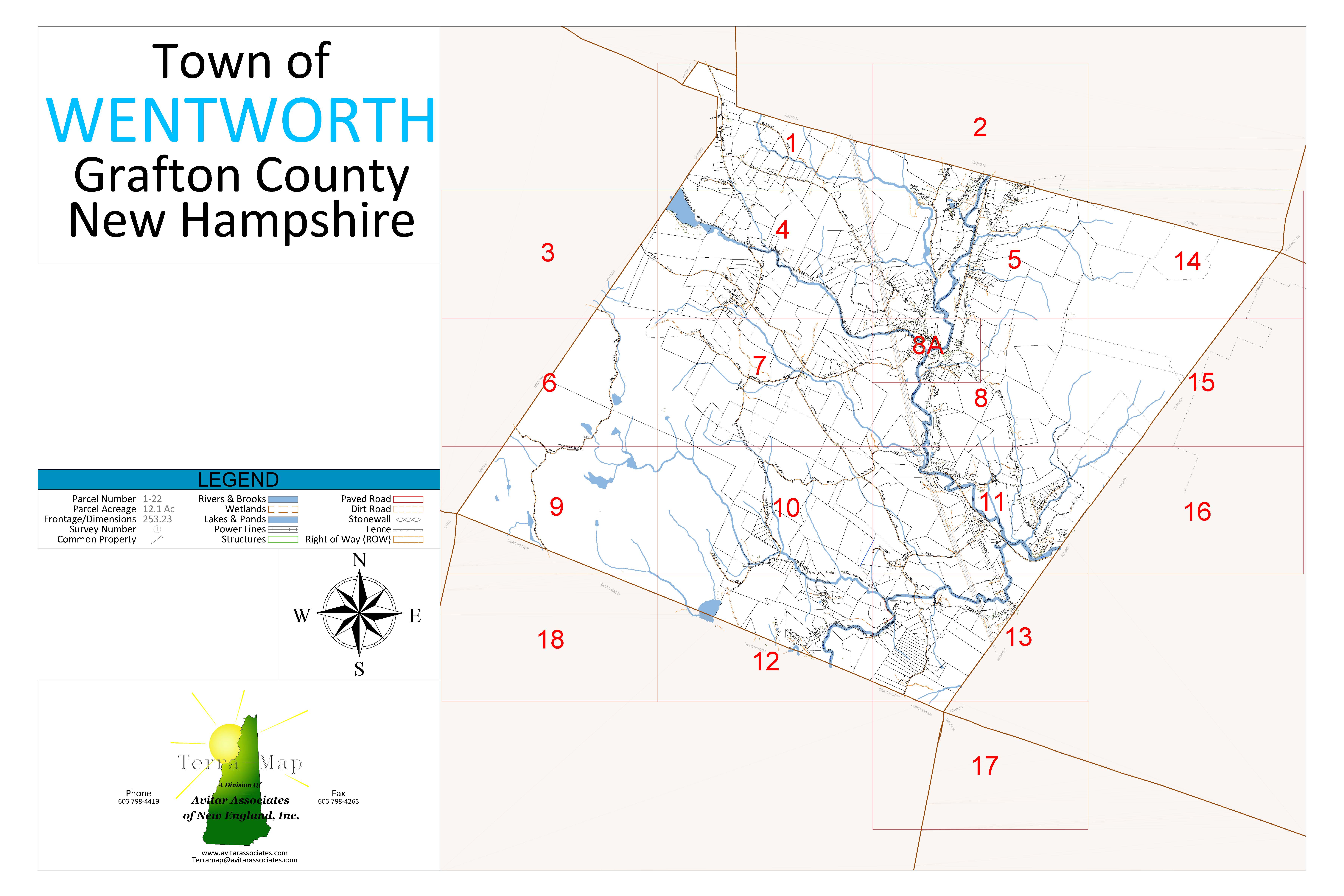
Tax Maps
These are the tax maps for the Town of Wentworth. Below the maps is a list of the roads in Wentworth.
There is a computer in the lobby of the Town Offices that the public may use for viewing assessing information and the town website.
Note that there is not a printer connected to this computer. There will be one in the future.
The tax maps below were last updated June 2021.
Disclaimer:
- Maps are for assessment purposes - not for deed descriptions or legal conveyance of property.
- For accurate property descriptions, please refer to property deeds and/or land surveys.
- Maps are for personal use only and are not to be sold by any person or agency.
Search Via Map
To access the maps, click the numbered section below to view the map in greater detail. All sections link to PDF maps that open in a new window.
Complete List of Tax Maps
| Filename | Format & Size |
|---|---|
| all-tax-maps.pdf |  15.1 MB 15.1 MB |
| index.pdf | 1.6 MB |
| map_01.pdf | 1.2 MB |
| map_02.pdf | 959 KB |
| map_03.pdf | 905 KB |
| map_04.pdf | 1.2 MB |
| map_05.pdf | 1.4 MB |
| map_06.pdf | 1.0 MB |
| map_07.pdf | 1.3 MB |
| map_08.pdf | 1.3 MB |
| map_08a.pdf | 1.2 MB |
| map_09.pdf | 1.0 MB |
| map_10.pdf | 1.1 MB |
| map_11.pdf | 1.5 MB |
| map_12.pdf | 1.0 MB |
| map_13.pdf | 1.2 MB |
| map_14.pdf | 928 KB |
| map_15.pdf | 894 KB |
| map_16.pdf | 819 KB |
| map_17.pdf | 843 KB |
| map_18.pdf | 876 KB |
Wentworth Town Roads
Wentworth Town Roads, last updated January 22, 2013, 748 KB
This document features the following information about each road:
- Road Number
- Road Name
- Length (Feet and Miles)
- Class
- Location
- Side Roads